Dalhousie celebrates two decades of GIS Centre
Anniversary event celebrates the growth of the centre and its impact across campus
What began with a professor launching a single course two decades ago has evolved into a campus-wide research hub at Dalhousie University.
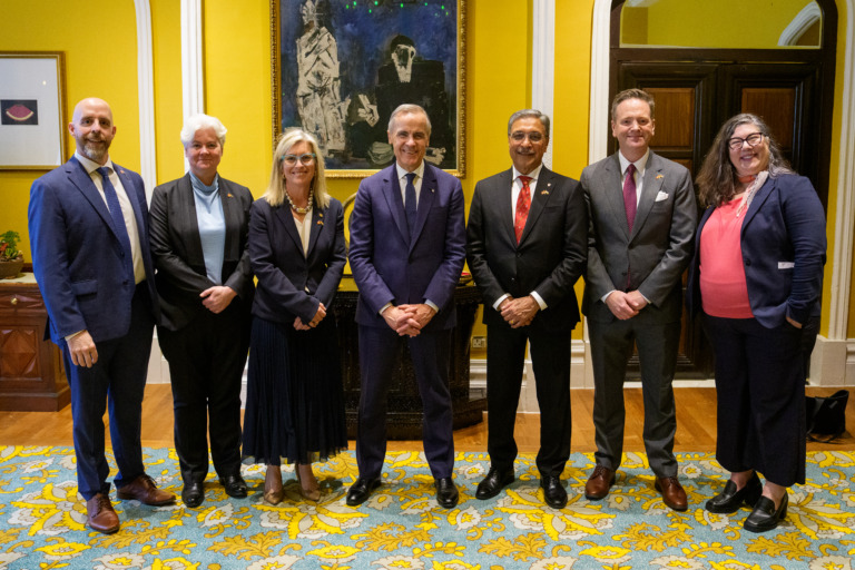
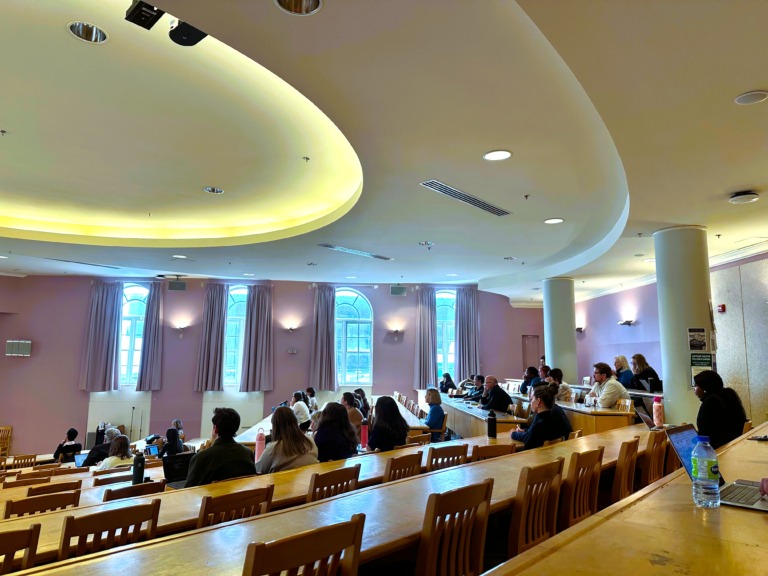
Dalhousie marked the 20th anniversary of its Geographic Information Systems Centre with an event in the MacDonald Building on Nov. 21, bringing together faculty, students and alumni to celebrate the university’s hub for geographic and spatial analysis.
GIS is a location-based mapping software that uses data analysis technology to create, manage and map data.
It connects data to a map and displays information using maps and 3D scenes, and supports a wide range of industries, including urban planning and natural resource management. Companies like Uber use the technology to locate nearby drivers and optimize routes.
Since opening in November 2005, the centre has supported the research of thousands of students and faculty, according to Mark Lewis, Dalhousie’s chief law librarian, who spoke at the event. It has also become a key resource for students studying geospatial data, environmental science and spatial analysis, awarding 14 Canadian GIS scholarships to students since its founding.
“When we celebrate the past 20 years, we’re excited for the next 20,” Lewis said.
The event featured a panel of six speakers, including educators, analysts, and researchers who contributed to GIS at Dalhousie.
Student impact
Athena Iraji, a second-year master of science student in environmental studies and a GIS and environmental data specialist, introduced Dalhousie GIS instructor Chris Greene at the event. She said it’s an “honour” to be in his course.
“[It] changed my idea of GIS, and how I think about spatial analysis,” she said.
Iraji is now applying for a PhD to continue her studies on GIS.
James Boxall, the director of Dal’s GIS Centre and a professor in the university’s geography department, says students are central to the centre’s operations.
“We wouldn’t be here if it weren’t for the students. It’s a no-brainer.”
Research and contributions
Boxall says the centre is currently focused on GIS research impacting Nova Scotia and Atlantic Canada. The centre has helped researchers better understand provincial issues, including monitoring wildfires across different areas of Nova Scotia.
“What we’ve tried to do, and what we’ve done over the last 20 years, is help people figure out what’s going on in the province,” he said.
Boxall, who received the Queen Elizabeth II Platinum Jubilee Medal last year for his contributions to geographic education in Nova Scotia and Canada, reflected on the centre’s evolution. He says GIS is used across multiple departments at Dal, including history, computer science and English.
“[It started as] one department, one prof, one course,” says Boxall. “Today … we work with everybody.”
“Education is my thing, and this centre is the reason for educational purposes. It’s a learning centre, a teaching centre, it supports all courses.”
Looking back at the program’s growth, Boxall said early GIS classes saw about 50 students per term. Today, they have closer to 200.
“Yeah, I told my boss I’m the luckiest man in the world,” he said.